Prefab, Boundary Street, Heckmondwike
Introduction
The photograph on this page of Prefab, Boundary Street, Heckmondwike by Humphrey Bolton as part of the Geograph project.
The Geograph project started in 2005 with the aim of publishing, organising and preserving representative images for every square kilometre of Great Britain, Ireland and the Isle of Man.

There are currently over 7.5m images from over 14,400 individuals and you can help contribute to the project by visiting https://www.geograph.org.uk
Prefab, Boundary Street, Heckmondwike
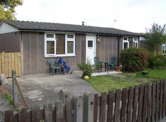
Image: © Humphrey Bolton Taken: 10 Sep 2007
This is shown on the 6” map of c.1940, before WWII. All these prefabs have replacement plastic windows, but this one probably has its original door.
Images are licensed for reuse under creativecommons.org/licenses/by-sa/2.0
Image Location
Latitude
53.707504
Longitude
-1.681829