Rosedale Road, Stoneleigh
Introduction
The photograph on this page of Rosedale Road, Stoneleigh by Stefan Czapski as part of the Geograph project.
The Geograph project started in 2005 with the aim of publishing, organising and preserving representative images for every square kilometre of Great Britain, Ireland and the Isle of Man.

There are currently over 7.5m images from over 14,400 individuals and you can help contribute to the project by visiting https://www.geograph.org.uk
Rosedale Road, Stoneleigh
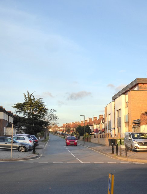
Image: © Stefan Czapski Taken: 1 Dec 2017
Typical of thousands of streets in these Surrey suburbs - 1930s residential development, mostly 'semis'. The view is NNE from Stoneleigh Broadway, and the road runs through to Central Road, Worcester Park. Local railway history is worth considering. Dipping into Dendy Marshall's 'History of the Southern Railway', I found that the Wimbledon to Epsom railway line was constructed through here as early as 1859. But no station was provided at Stoneleigh (which in any case was simply farmland), so for 73 years trains stopped at Worcester Park (north) then ran through to Ewell West (south). The station at Stoneleigh opened in 1932, and - simply from looking at the 'urban fabric' - it is clear that a torrent of 'dormitory' development then followed. While the coming of the railway must have been the critical factor, it was not the only one: the early 1930s were the heyday of the Austin 7 and Morris 8 - so that, for the first time, car-ownership came within reach for families of modest means.
Images are licensed for reuse under creativecommons.org/licenses/by-sa/2.0
Image Location
Latitude
51.364271
Longitude
-0.246247