Evesham from the air
Introduction
The photograph on this page of Evesham from the air by M J Richardson as part of the Geograph project.
The Geograph project started in 2005 with the aim of publishing, organising and preserving representative images for every square kilometre of Great Britain, Ireland and the Isle of Man.

There are currently over 7.5m images from over 14,400 individuals and you can help contribute to the project by visiting https://www.geograph.org.uk
Evesham from the air
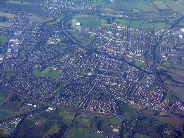
Image: © M J Richardson Taken: 23 Nov 2017
With the A46 crossing the lower half of the picture, and the big bend of the River Avon at the top.
Images are licensed for reuse under creativecommons.org/licenses/by-sa/2.0
Image Location
Latitude
52.088924
Longitude
-1.922601