Waun Fach or Waunfach, Bettws
Introduction
The photograph on this page of Waun Fach or Waunfach, Bettws by Jaggery as part of the Geograph project.
The Geograph project started in 2005 with the aim of publishing, organising and preserving representative images for every square kilometre of Great Britain, Ireland and the Isle of Man.

There are currently over 7.5m images from over 14,400 individuals and you can help contribute to the project by visiting https://www.geograph.org.uk
Waun Fach or Waunfach, Bettws
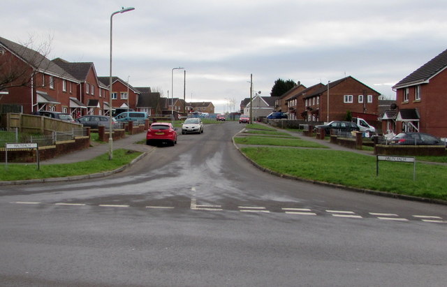
Image: © Jaggery Taken: 2 Dec 2017
Viewed from Heol Glannant looking south along Waun Fach or Waunfach towards Y Wern. The name sign on the left shows WAUNFACH (no space). The one on the right shows WAUN FACH.
Images are licensed for reuse under creativecommons.org/licenses/by-sa/2.0
Image Location
Latitude
51.572652
Longitude
-3.5872