Llwyncelyn, Bettws
Introduction
The photograph on this page of Llwyncelyn, Bettws by Jaggery as part of the Geograph project.
The Geograph project started in 2005 with the aim of publishing, organising and preserving representative images for every square kilometre of Great Britain, Ireland and the Isle of Man.

There are currently over 7.5m images from over 14,400 individuals and you can help contribute to the project by visiting https://www.geograph.org.uk
Llwyncelyn, Bettws
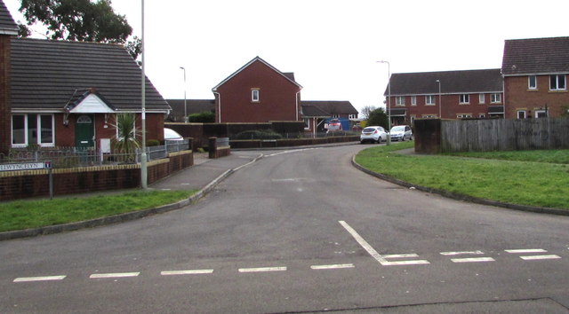
Image: © Jaggery Taken: 2 Dec 2017
Llwyncelyn is a cul-de-sac on the south side of the road named Y Wern. The left turn 45 metres from the camera is into the cul-de-sac Clos Celyn.
Images are licensed for reuse under creativecommons.org/licenses/by-sa/2.0
Image Location
Latitude
51.572484
Longitude
-3.586328