Ampthill, Wingfield Club
Introduction
The photograph on this page of Ampthill, Wingfield Club by Mike Faherty as part of the Geograph project.
The Geograph project started in 2005 with the aim of publishing, organising and preserving representative images for every square kilometre of Great Britain, Ireland and the Isle of Man.

There are currently over 7.5m images from over 14,400 individuals and you can help contribute to the project by visiting https://www.geograph.org.uk
Ampthill, Wingfield Club
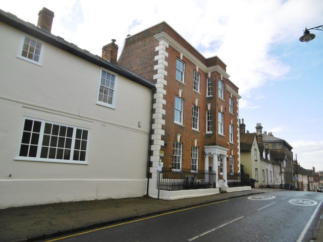
Image: © Mike Faherty Taken: 28 Nov 2017
On Church Street; the early C18 building is listed by Historic England (Grade II*): http://www.imagesofengland.org.uk/Details/Default.aspx?id=37371&mode=adv
Images are licensed for reuse under creativecommons.org/licenses/by-sa/2.0
Image Location
Latitude
52.032446
Longitude
-0.490792