A659 next to housing development
Introduction
The photograph on this page of A659 next to housing development by DS Pugh as part of the Geograph project.
The Geograph project started in 2005 with the aim of publishing, organising and preserving representative images for every square kilometre of Great Britain, Ireland and the Isle of Man.

There are currently over 7.5m images from over 14,400 individuals and you can help contribute to the project by visiting https://www.geograph.org.uk
A659 next to housing development
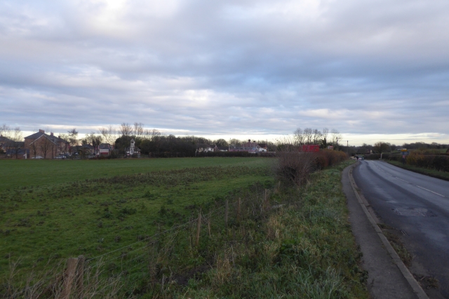
Image: © DS Pugh Taken: 26 Nov 2017
The A659 passes the old industrial site at the former railway trackbed. The site is now being rebuilt as housing and will include a path through to Thorp Arch. The site is being built by Redrow calling it their Southbank Development.
Images are licensed for reuse under creativecommons.org/licenses/by-sa/2.0
Image Location
Latitude
53.897171
Longitude
-1.319271