National Cycle Network sign, Ballyleidy, Bangor (November 2017)
Introduction
The photograph on this page of National Cycle Network sign, Ballyleidy, Bangor (November 2017) by Albert Bridge as part of the Geograph project.
The Geograph project started in 2005 with the aim of publishing, organising and preserving representative images for every square kilometre of Great Britain, Ireland and the Isle of Man.

There are currently over 7.5m images from over 14,400 individuals and you can help contribute to the project by visiting https://www.geograph.org.uk
National Cycle Network sign, Ballyleidy, Bangor (November 2017)
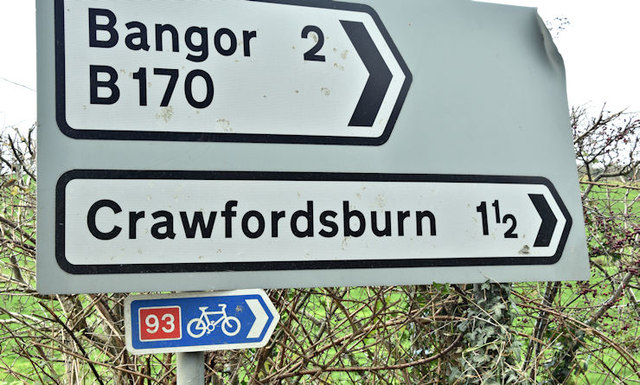
Image: © Albert Bridge Taken: 30 Nov 2017
National Cycle Network sign, on the Ballysallagh Road, opposite the Crawfordsburn Road. Route 93 runs from Newtownards to Crawfordsburn and Helen’s Bay and then to Bangor via the North Down Coastal Path Image
Images are licensed for reuse under creativecommons.org/licenses/by-sa/2.0
Image Location
Latitude
54.637733
Longitude
-5.723702