Oakington Manor Drive, Tokyngton
Introduction
The photograph on this page of Oakington Manor Drive, Tokyngton by David Smith as part of the Geograph project.
The Geograph project started in 2005 with the aim of publishing, organising and preserving representative images for every square kilometre of Great Britain, Ireland and the Isle of Man.

There are currently over 7.5m images from over 14,400 individuals and you can help contribute to the project by visiting https://www.geograph.org.uk
Oakington Manor Drive, Tokyngton
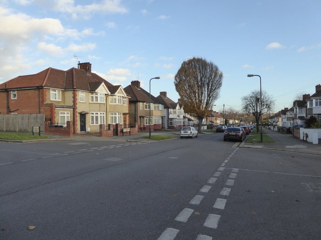
Image: © David Smith Taken: 23 Nov 2017
The 1920 OS map shows this as farmland belonging to Oakington Farm, and the farm is there on the 1935 map with this development of houses. The site of Oakington Farm is now Sherrans Farm Open Space (why the changed name?)
Images are licensed for reuse under creativecommons.org/licenses/by-sa/2.0
Image Location
Latitude
51.552271
Longitude
-0.274366