Advanced warning notice, Reece Lane
Introduction
The photograph on this page of Advanced warning notice, Reece Lane by John Baker as part of the Geograph project.
The Geograph project started in 2005 with the aim of publishing, organising and preserving representative images for every square kilometre of Great Britain, Ireland and the Isle of Man.

There are currently over 7.5m images from over 14,400 individuals and you can help contribute to the project by visiting https://www.geograph.org.uk
Advanced warning notice, Reece Lane
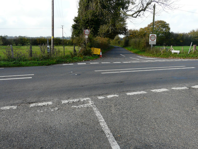
Image: © John Baker Taken: 3 Nov 2017
The notice read: this road will be closed from 06/11/17 [for] 4 days between 09:30 - 15:30. Reece Lane residents received no information about the closure, but a notice, outside the entrance to Blandred Farm, after the work had started, indicated that it was being carried out by contractors on behalf of BT Openreach. Fortunately the lane was only closed for two days, as the work was completed earlier than expected. A similar Image had been placed here towards the end of August 2017.
Images are licensed for reuse under creativecommons.org/licenses/by-sa/2.0
Image Location
Latitude
51.146964
Longitude
1.166237