Path through Philpot's Farm
Introduction
The photograph on this page of Path through Philpot's Farm by Des Blenkinsopp as part of the Geograph project.
The Geograph project started in 2005 with the aim of publishing, organising and preserving representative images for every square kilometre of Great Britain, Ireland and the Isle of Man.

There are currently over 7.5m images from over 14,400 individuals and you can help contribute to the project by visiting https://www.geograph.org.uk
Path through Philpot's Farm
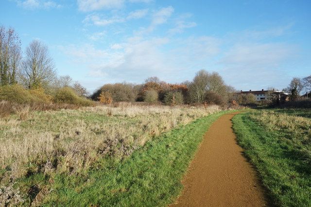
Image: © Des Blenkinsopp Taken: 28 Nov 2017
Philpot's Farm was a farm up until the 1970's. Now, with the name retained, it is run by Hillingdon Council as a nature reserve and park. The site is made up of mixed grass and woodland, with the River Pinn flowing southwards through it.
Images are licensed for reuse under creativecommons.org/licenses/by-sa/2.0
Image Location
Latitude
51.520223
Longitude
-0.472903