Kings Clipstone
Introduction
The photograph on this page of Kings Clipstone by norman griffin as part of the Geograph project.
The Geograph project started in 2005 with the aim of publishing, organising and preserving representative images for every square kilometre of Great Britain, Ireland and the Isle of Man.

There are currently over 7.5m images from over 14,400 individuals and you can help contribute to the project by visiting https://www.geograph.org.uk
Kings Clipstone
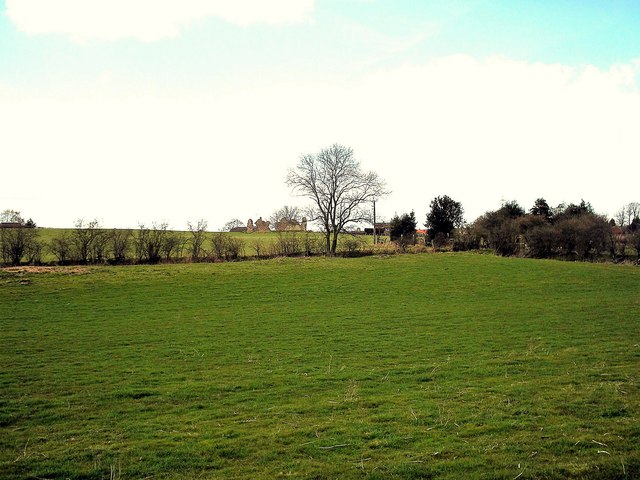
Image: © norman griffin Taken: 14 Apr 2006
Ruins of St Johns Palace can just be seen through the trees
Images are licensed for reuse under creativecommons.org/licenses/by-sa/2.0
Image Location
Latitude
53.176443
Longitude
-1.098522