Trumpington Meadows: from Old Mills Road to Proctor Drive
Introduction
The photograph on this page of Trumpington Meadows: from Old Mills Road to Proctor Drive by John Sutton as part of the Geograph project.
The Geograph project started in 2005 with the aim of publishing, organising and preserving representative images for every square kilometre of Great Britain, Ireland and the Isle of Man.

There are currently over 7.5m images from over 14,400 individuals and you can help contribute to the project by visiting https://www.geograph.org.uk
Trumpington Meadows: from Old Mills Road to Proctor Drive
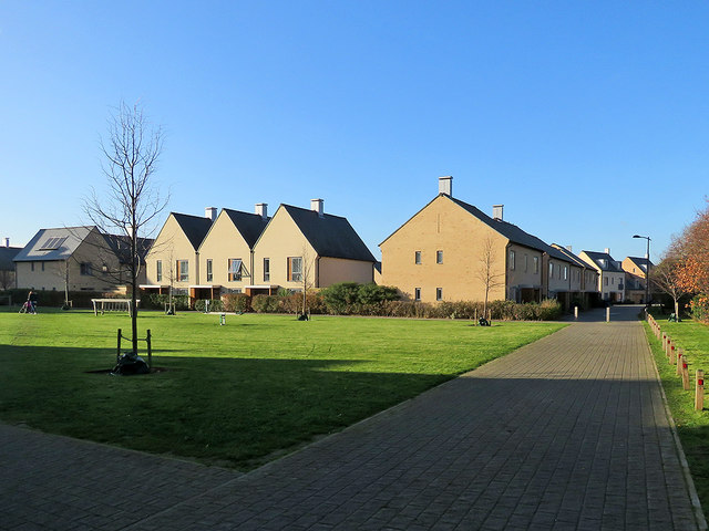
Image: © John Sutton Taken: 28 Nov 2017
The northern edge of this huge estate south of Trumpington on the edge of Cambridge. The open space is Anstey Hall Play Area.
Images are licensed for reuse under creativecommons.org/licenses/by-sa/2.0
Image Location
Latitude
52.171163
Longitude
0.108499