Old Kinfauns Parish Kirk
Introduction
The photograph on this page of Old Kinfauns Parish Kirk by Anne Burgess as part of the Geograph project.
The Geograph project started in 2005 with the aim of publishing, organising and preserving representative images for every square kilometre of Great Britain, Ireland and the Isle of Man.

There are currently over 7.5m images from over 14,400 individuals and you can help contribute to the project by visiting https://www.geograph.org.uk
Old Kinfauns Parish Kirk
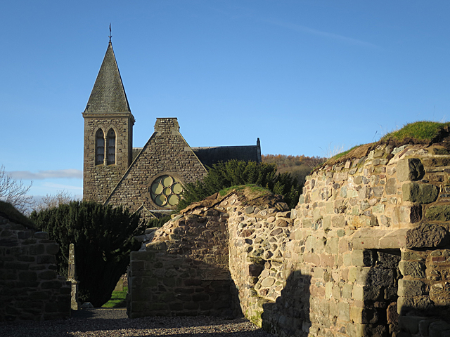
Image: © Anne Burgess Taken: 26 Nov 2017
The roofless remains of the old kirk are overlooked by the tower of the kirk which replaced it. See https://canmore.org.uk/site/28199/kinfauns-old-parish-church for more details.
Images are licensed for reuse under creativecommons.org/licenses/by-sa/2.0
Image Location
Latitude
56.385243
Longitude
-3.351329