Queen Street, Lynton
Introduction
The photograph on this page of Queen Street, Lynton by Martin Tester as part of the Geograph project.
The Geograph project started in 2005 with the aim of publishing, organising and preserving representative images for every square kilometre of Great Britain, Ireland and the Isle of Man.

There are currently over 7.5m images from over 14,400 individuals and you can help contribute to the project by visiting https://www.geograph.org.uk
Queen Street, Lynton
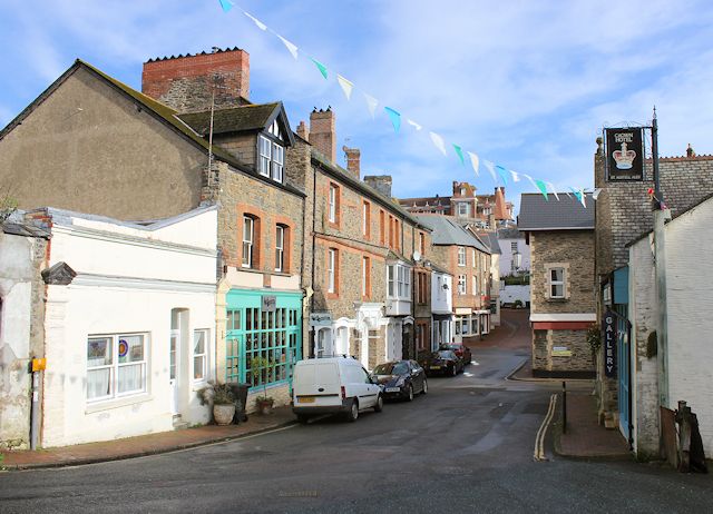
Image: © Martin Tester Taken: 29 Sep 2017
With my back turned on the Crown Hotel (see Image) this is the view up Queen Street. The roofline of the Valley of the Rocks Hotel just appears above all other buildings.
Images are licensed for reuse under creativecommons.org/licenses/by-sa/2.0
Image Location


Leaflet Map data © OpenStreetMap
Latitude
51.22912
Longitude
-3.834734