Faringdon from the air
Introduction
The photograph on this page of Faringdon from the air by M J Richardson as part of the Geograph project.
The Geograph project started in 2005 with the aim of publishing, organising and preserving representative images for every square kilometre of Great Britain, Ireland and the Isle of Man.

There are currently over 7.5m images from over 14,400 individuals and you can help contribute to the project by visiting https://www.geograph.org.uk
Faringdon from the air
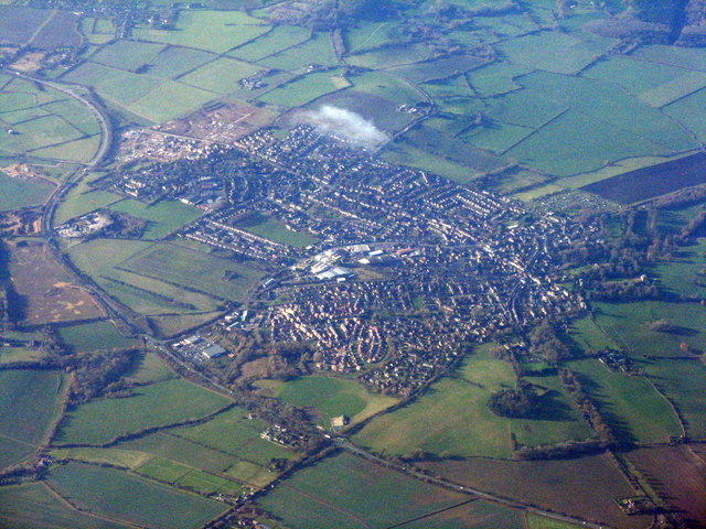
Image: © M J Richardson Taken: 23 Nov 2017
With Cromwell's Battery and The Folly on Faringdon Hill in the foreground, with the circular wood. The A420 bypasses the town to the southeast.
Images are licensed for reuse under creativecommons.org/licenses/by-sa/2.0
Image Location
Latitude
51.656608
Longitude
-1.572061