Radstock Way Open Space
Introduction
The photograph on this page of Radstock Way Open Space by Stephen McKay as part of the Geograph project.
The Geograph project started in 2005 with the aim of publishing, organising and preserving representative images for every square kilometre of Great Britain, Ireland and the Isle of Man.

There are currently over 7.5m images from over 14,400 individuals and you can help contribute to the project by visiting https://www.geograph.org.uk
Radstock Way Open Space
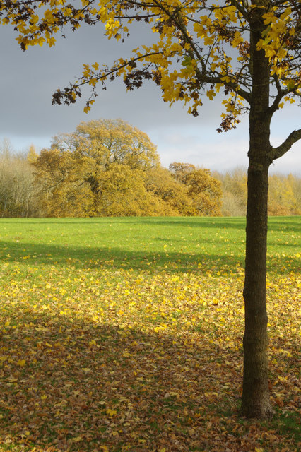
Image: © Stephen McKay Taken: 22 Nov 2017
Open land between Radstock Way on Merstham's LCC housing estate and the M25.
Images are licensed for reuse under creativecommons.org/licenses/by-sa/2.0
Image Location
Latitude
51.262346
Longitude
-0.133313