Cl?s Gwaith Brics, Tondu
Introduction
The photograph on this page of Cl?s Gwaith Brics, Tondu by Jaggery as part of the Geograph project.
The Geograph project started in 2005 with the aim of publishing, organising and preserving representative images for every square kilometre of Great Britain, Ireland and the Isle of Man.

There are currently over 7.5m images from over 14,400 individuals and you can help contribute to the project by visiting https://www.geograph.org.uk
Cl?s Gwaith Brics, Tondu
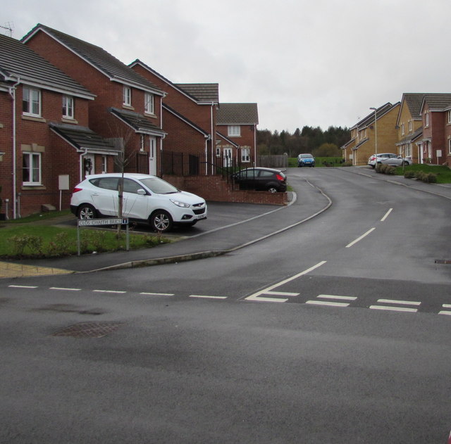
Image: © Jaggery Taken: 27 Nov 2017
Houses built in the second decade of the 21st century, part of a Llanmoor Homes development.
Images are licensed for reuse under creativecommons.org/licenses/by-sa/2.0
Image Location
Latitude
51.544214
Longitude
-3.602073