"Rose and Crown" public house, Clay Hill
Introduction
The photograph on this page of "Rose and Crown" public house, Clay Hill by Jim Osley as part of the Geograph project.
The Geograph project started in 2005 with the aim of publishing, organising and preserving representative images for every square kilometre of Great Britain, Ireland and the Isle of Man.

There are currently over 7.5m images from over 14,400 individuals and you can help contribute to the project by visiting https://www.geograph.org.uk
"Rose and Crown" public house, Clay Hill
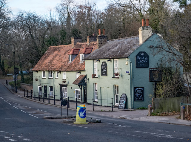
Image: © Jim Osley Taken: 26 Nov 2017
Grade II listed - description at this https://historicengland.org.uk/listing/the-list/list-entry/1079555.
Images are licensed for reuse under creativecommons.org/licenses/by-sa/2.0
Image Location
Latitude
51.671252
Longitude
-0.083865