The Mill, Mill Lane, Wootton-by-Woodstock
Introduction
The photograph on this page of The Mill, Mill Lane, Wootton-by-Woodstock by David Kemp as part of the Geograph project.
The Geograph project started in 2005 with the aim of publishing, organising and preserving representative images for every square kilometre of Great Britain, Ireland and the Isle of Man.

There are currently over 7.5m images from over 14,400 individuals and you can help contribute to the project by visiting https://www.geograph.org.uk
The Mill, Mill Lane, Wootton-by-Woodstock
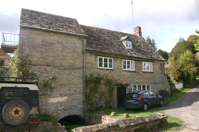
Image: © David Kemp Taken: 28 Sep 2017
The river Glyme takes various courses through Wootton and was in the past used to power a number of small mills that had been set up in the village.
Images are licensed for reuse under creativecommons.org/licenses/by-sa/2.0
Image Location
Latitude
51.873339
Longitude
-1.363313