Road junction at Bole Hill
Introduction
The photograph on this page of Road junction at Bole Hill by Dave Dunford as part of the Geograph project.
The Geograph project started in 2005 with the aim of publishing, organising and preserving representative images for every square kilometre of Great Britain, Ireland and the Isle of Man.

There are currently over 7.5m images from over 14,400 individuals and you can help contribute to the project by visiting https://www.geograph.org.uk
Road junction at Bole Hill
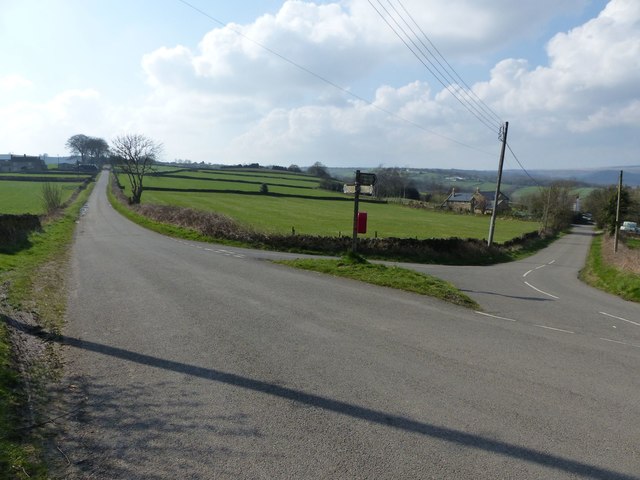
Image: © Dave Dunford Taken: 23 Mar 2017
Road to left is Grange Lane, heading towards Barlow Grange (and, eventually, Baslow). Straight on is Wildaygreen Lane.
Images are licensed for reuse under creativecommons.org/licenses/by-sa/2.0
Image Location
Latitude
53.266376
Longitude
-1.504746