The Clyde at Yoker from the air
Introduction
The photograph on this page of The Clyde at Yoker from the air by Thomas Nugent as part of the Geograph project.
The Geograph project started in 2005 with the aim of publishing, organising and preserving representative images for every square kilometre of Great Britain, Ireland and the Isle of Man.

There are currently over 7.5m images from over 14,400 individuals and you can help contribute to the project by visiting https://www.geograph.org.uk
The Clyde at Yoker from the air
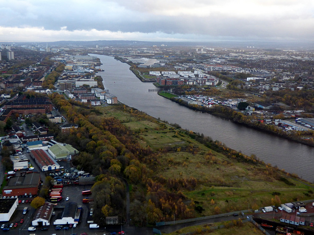
Image: © Thomas Nugent Taken: 17 Nov 2017
The edge of Rothesay Dock can be seen in the lower right corner. Renfrew and Braehead are on the right bank, Yoker and Scotstoun are on the left.
Images are licensed for reuse under creativecommons.org/licenses/by-sa/2.0
Image Location


Leaflet Map data © OpenStreetMap
Latitude
55.8907
Longitude
-4.390809