Crossroads at Blossomfield
Introduction
The photograph on this page of Crossroads at Blossomfield by Bill Boaden as part of the Geograph project.
The Geograph project started in 2005 with the aim of publishing, organising and preserving representative images for every square kilometre of Great Britain, Ireland and the Isle of Man.

There are currently over 7.5m images from over 14,400 individuals and you can help contribute to the project by visiting https://www.geograph.org.uk
Crossroads at Blossomfield
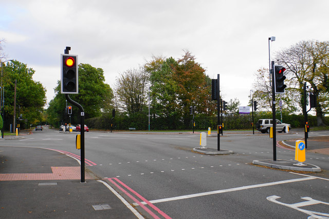
Image: © Bill Boaden Taken: 22 Oct 2017
On the far corner is Alderbrook School, mostly hidden behind foliage.
Images are licensed for reuse under creativecommons.org/licenses/by-sa/2.0
Image Location
Latitude
52.406139
Longitude
-1.800337