Witch Knowe, Coylton
Introduction
The photograph on this page of Witch Knowe, Coylton by Humphrey Bolton as part of the Geograph project.
The Geograph project started in 2005 with the aim of publishing, organising and preserving representative images for every square kilometre of Great Britain, Ireland and the Isle of Man.

There are currently over 7.5m images from over 14,400 individuals and you can help contribute to the project by visiting https://www.geograph.org.uk
Witch Knowe, Coylton
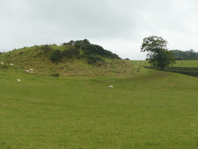
Image: © Humphrey Bolton Taken: 10 Oct 2017
One of many mounds with this name. It could be a tumulus, a motte. or maybe just natural. See Image for another image of it (with sunshine!).
Images are licensed for reuse under creativecommons.org/licenses/by-sa/2.0
Image Location
Latitude
55.446531
Longitude
-4.53275