Manor Farm, Lambs Lane, Wootton-by-Woodstock
Introduction
The photograph on this page of Manor Farm, Lambs Lane, Wootton-by-Woodstock by David Kemp as part of the Geograph project.
The Geograph project started in 2005 with the aim of publishing, organising and preserving representative images for every square kilometre of Great Britain, Ireland and the Isle of Man.

There are currently over 7.5m images from over 14,400 individuals and you can help contribute to the project by visiting https://www.geograph.org.uk
Manor Farm, Lambs Lane, Wootton-by-Woodstock
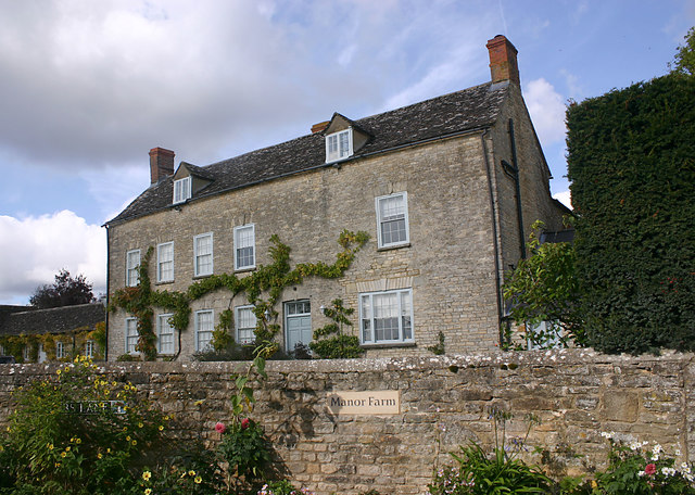
Image: © David Kemp Taken: 28 Sep 2017
The house dates from c1800 according to the 'Buildings of England'.
Images are licensed for reuse under creativecommons.org/licenses/by-sa/2.0
Image Location


Leaflet Map data © OpenStreetMap
Latitude
51.87488
Longitude
-1.365616