Way Head: Old Lynn Drove
Introduction
The photograph on this page of Way Head: Old Lynn Drove by John Sutton as part of the Geograph project.
The Geograph project started in 2005 with the aim of publishing, organising and preserving representative images for every square kilometre of Great Britain, Ireland and the Isle of Man.

There are currently over 7.5m images from over 14,400 individuals and you can help contribute to the project by visiting https://www.geograph.org.uk
Way Head: Old Lynn Drove
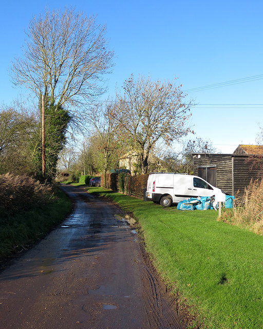
Image: © John Sutton Taken: 23 Nov 2017
Way Head is a remote hamlet in the Isle of Ely, between Coveney and Little Downham. This byway leads to Wardy Hill and Mepal.
Images are licensed for reuse under creativecommons.org/licenses/by-sa/2.0
Image Location
Latitude
52.433486
Longitude
0.185876