Pipe crossing at Cleggs Lane
Introduction
The photograph on this page of Pipe crossing at Cleggs Lane by Robert Eva as part of the Geograph project.
The Geograph project started in 2005 with the aim of publishing, organising and preserving representative images for every square kilometre of Great Britain, Ireland and the Isle of Man.

There are currently over 7.5m images from over 14,400 individuals and you can help contribute to the project by visiting https://www.geograph.org.uk
Pipe crossing at Cleggs Lane
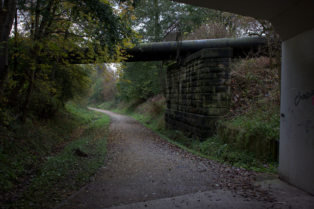
Image: © Robert Eva Taken: 17 Nov 2017
The Cleggs Lane bridge has clearly been replaced since the closure of the railway but the abutment beyond looks like it is original.
Images are licensed for reuse under creativecommons.org/licenses/by-sa/2.0
Image Location
Latitude
53.53353
Longitude
-2.421343