Hilly suburban High Wycombe
Introduction
The photograph on this page of Hilly suburban High Wycombe by Robin Webster as part of the Geograph project.
The Geograph project started in 2005 with the aim of publishing, organising and preserving representative images for every square kilometre of Great Britain, Ireland and the Isle of Man.

There are currently over 7.5m images from over 14,400 individuals and you can help contribute to the project by visiting https://www.geograph.org.uk
Hilly suburban High Wycombe
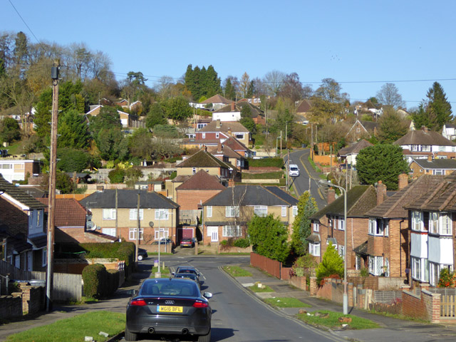
Image: © Robin Webster Taken: 23 Nov 2017
Looking down Roundwood Road with Lane End Road at the bottom and Pinewood Road going up the other side.
Images are licensed for reuse under creativecommons.org/licenses/by-sa/2.0
Image Location
Latitude
51.631799
Longitude
-0.787611