High Street, Wappenham
Introduction
The photograph on this page of High Street, Wappenham by Chris Brown as part of the Geograph project.
The Geograph project started in 2005 with the aim of publishing, organising and preserving representative images for every square kilometre of Great Britain, Ireland and the Isle of Man.

There are currently over 7.5m images from over 14,400 individuals and you can help contribute to the project by visiting https://www.geograph.org.uk
High Street, Wappenham
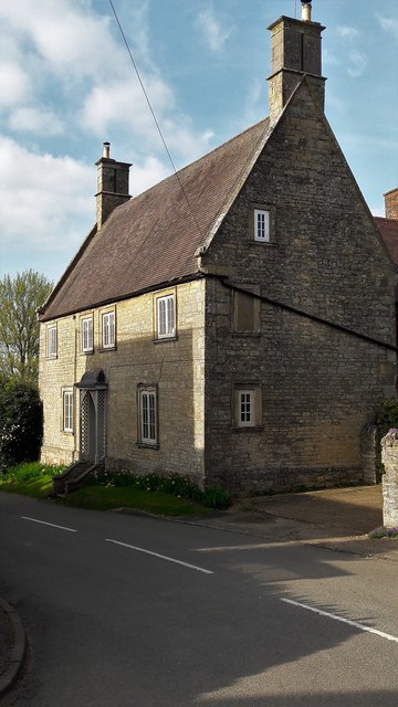
Image: © Chris Brown Taken: 5 Apr 2017
A handsome 17th century farmhouse with the extremely steep roof characteristic of western Northants.
Images are licensed for reuse under creativecommons.org/licenses/by-sa/2.0
Image Location
Latitude
52.106734
Longitude
-1.088268