Tattenham Corner station
Introduction
The photograph on this page of Tattenham Corner station by Stefan Czapski as part of the Geograph project.
The Geograph project started in 2005 with the aim of publishing, organising and preserving representative images for every square kilometre of Great Britain, Ireland and the Isle of Man.

There are currently over 7.5m images from over 14,400 individuals and you can help contribute to the project by visiting https://www.geograph.org.uk
Tattenham Corner station
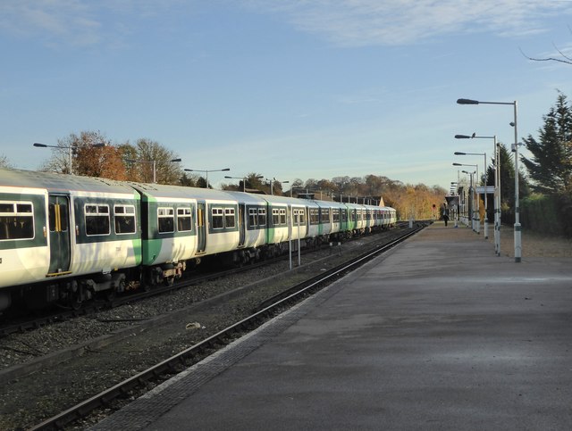
Image: © Stefan Czapski Taken: 19 Nov 2017
The first railway company to make the climb up to the downs was the London, Brighton & South Coast, which arrived in 1865. Its wish to build a station close to the race-course met with local resistance, so its terminus - known as Epsom Downs - was built at about TQ 226 595, more than half a mile from the nearest point on the course. To handle race-day crowds the station had nine tracks. The station at Tattenham Corner - far more convenient for race-goers - was opened by a rival company (the South Eastern & Chatham) in 1901 - very late for railway development in this part of England. The SE&CR climbed to the downs by a somewhat roundabout route from the south and east, by way of Purley and Tadworth. Inevitably the Brighton line's station then declined. In 1989 it was demolished and replaced by a much smaller station (still called 'Epsom Downs') a quarter of a mile or so short of the original terminus. I gleaned the above history in part from Dendy Marshall's 'History of the Southern Railway', but also have to thank Marathon for citing this very useful link: http://www.disused-stations.org.uk/e/epsom_downs/index.shtml
Images are licensed for reuse under creativecommons.org/licenses/by-sa/2.0
Image Location
Latitude
51.308272
Longitude
-0.241927