Terrace on Wratting Road
Introduction
The photograph on this page of Terrace on Wratting Road by Keith Edkins as part of the Geograph project.
The Geograph project started in 2005 with the aim of publishing, organising and preserving representative images for every square kilometre of Great Britain, Ireland and the Isle of Man.

There are currently over 7.5m images from over 14,400 individuals and you can help contribute to the project by visiting https://www.geograph.org.uk
Terrace on Wratting Road
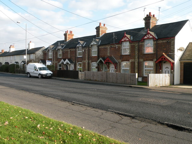
Image: © Keith Edkins Taken: 22 Nov 2017
These houses are in the parish of Little Wratting. When they were built in the early 20th century they were some way outside the built-up area of Haverhill. The built-up area of Haverhill caught up with them about 1970.
Images are licensed for reuse under creativecommons.org/licenses/by-sa/2.0
Image Location
Latitude
52.091185
Longitude
0.445603