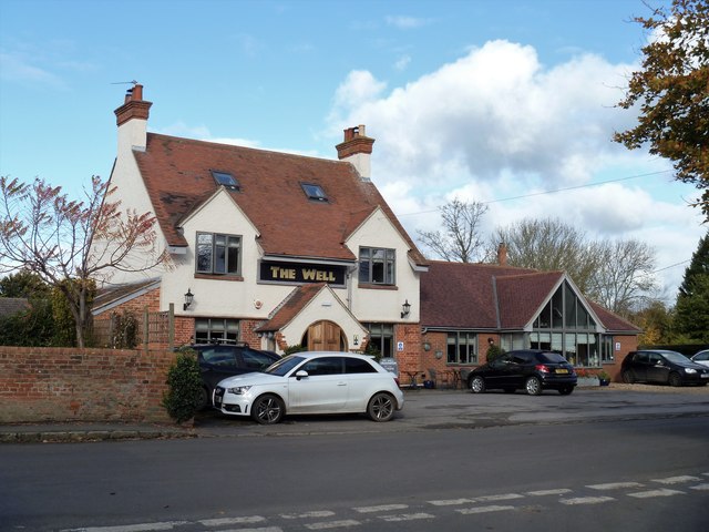
Bulkington buildings [1]
Introduction
The photograph on this page of Bulkington buildings [1] by Michael Dibb as part of the Geograph project.
The Geograph project started in 2005 with the aim of publishing, organising and preserving representative images for every square kilometre of Great Britain, Ireland and the Isle of Man.
There are currently over 7.5m images from over 14,400 individuals and you can help contribute to the project by visiting https://www.geograph.org.uk

Image: © Michael Dibb Taken: 5 Nov 2017
The Well was until recently known as the Tipsy Toad, and renamed in 2009 when a major refurbishment took place. Previous names were The Bell and The Well (again). An earlier building burnt down and was replaced by the current building around 1920. There is another view at Image Bulkington is a small village about 4½ miles west of the market town of Devizes and about 4½ miles south east of Melksham. The village has been occupied since the 12th century. During the 19th century a dairy centre was the main industry in the village but these days most workers commute.

