The truncated Nottingham Canal at Langley Mill
Introduction
The photograph on this page of The truncated Nottingham Canal at Langley Mill by Christine Johnstone as part of the Geograph project.
The Geograph project started in 2005 with the aim of publishing, organising and preserving representative images for every square kilometre of Great Britain, Ireland and the Isle of Man.

There are currently over 7.5m images from over 14,400 individuals and you can help contribute to the project by visiting https://www.geograph.org.uk
The truncated Nottingham Canal at Langley Mill
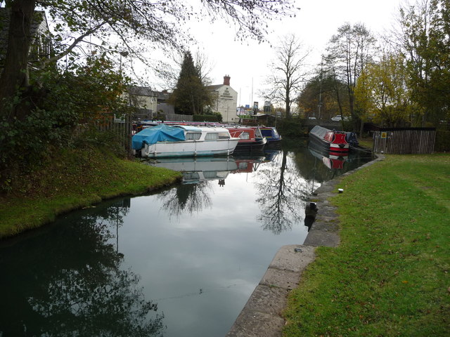
Image: © Christine Johnstone Taken: 13 Nov 2017
Volunteers from the Friends of Cromford Canal are creating a data base from that canal's toll records. In November 1819, boats from the Cromford Canal headed along here with a variety of cargoes for Nottingham. The main cargo was coal - from pits and wharves at Benty, Beggarlee, Birchwood, Brinsley, Codnor Park, Forge, Hartshay, Pentrich, Pinxton, Summercotes and Swanwick. But boats also carried castings from Golden Valley, pig iron from Pye Bridge and 'sundries' from Codnor Park and Buckland Hollow.
Images are licensed for reuse under creativecommons.org/licenses/by-sa/2.0
Image Location
Latitude
53.019815
Longitude
-1.323913