Haxey Cross
Introduction
The photograph on this page of Haxey Cross by Graham Hogg as part of the Geograph project.
The Geograph project started in 2005 with the aim of publishing, organising and preserving representative images for every square kilometre of Great Britain, Ireland and the Isle of Man.

There are currently over 7.5m images from over 14,400 individuals and you can help contribute to the project by visiting https://www.geograph.org.uk
Haxey Cross
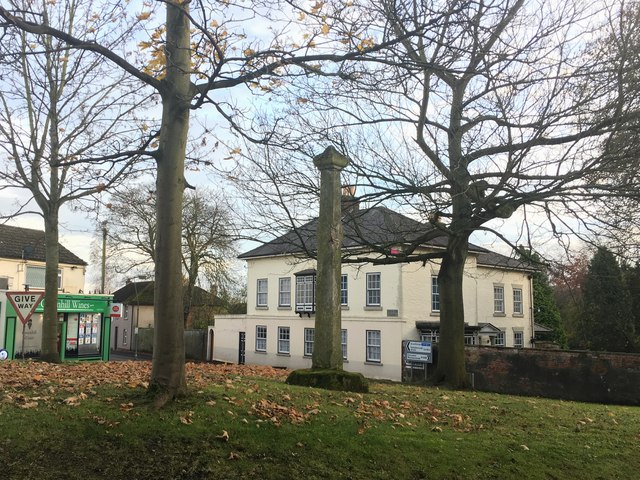
Image: © Graham Hogg Taken: 21 Nov 2017
A medieval cross known locally as the Cross of Piety or Mowbray Cross. It was damaged in the 1600s, either during the Civil War or rioting that occurred during the draining of the surrounding low lying area that was unpopular with some.
Images are licensed for reuse under creativecommons.org/licenses/by-sa/2.0
Image Location
Latitude
53.490213
Longitude
-0.843793