South on the Erewash Canal from the Fields Farm Road bridge, Long Eaton
Introduction
The photograph on this page of South on the Erewash Canal from the Fields Farm Road bridge, Long Eaton by Robin Stott as part of the Geograph project.
The Geograph project started in 2005 with the aim of publishing, organising and preserving representative images for every square kilometre of Great Britain, Ireland and the Isle of Man.

There are currently over 7.5m images from over 14,400 individuals and you can help contribute to the project by visiting https://www.geograph.org.uk
South on the Erewash Canal from the Fields Farm Road bridge, Long Eaton
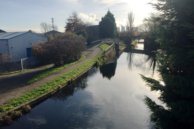
Image: © Robin Stott Taken: 18 Nov 2017
On the left is a corner of the Sheet Stores Industrial Estate. In the distance are the cooling towers of the Ratcliffe on Soar power station Image and neighbouring squares. See also Image
Images are licensed for reuse under creativecommons.org/licenses/by-sa/2.0
Image Location
Latitude
52.884444
Longitude
-1.279653