Farmland north of Layham Park
Introduction
The photograph on this page of Farmland north of Layham Park by Robin Webster as part of the Geograph project.
The Geograph project started in 2005 with the aim of publishing, organising and preserving representative images for every square kilometre of Great Britain, Ireland and the Isle of Man.

There are currently over 7.5m images from over 14,400 individuals and you can help contribute to the project by visiting https://www.geograph.org.uk
Farmland north of Layham Park
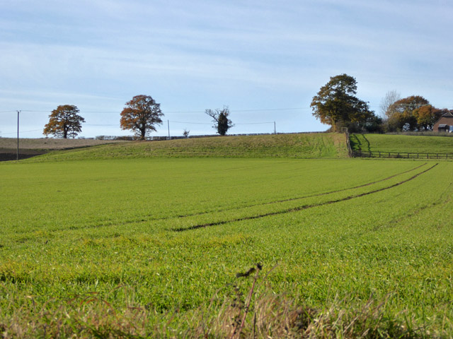
Image: © Robin Webster Taken: 19 Nov 2017
As far as I can make out from the geological map, the short, steep, rise across the field is caused by a superficial deposit of gravels from glacial action.
Images are licensed for reuse under creativecommons.org/licenses/by-sa/2.0
Image Location
Latitude
52.032068
Longitude
0.949628