The end of Woburn Drive
Introduction
The photograph on this page of The end of Woburn Drive by Bill Boaden as part of the Geograph project.
The Geograph project started in 2005 with the aim of publishing, organising and preserving representative images for every square kilometre of Great Britain, Ireland and the Isle of Man.

There are currently over 7.5m images from over 14,400 individuals and you can help contribute to the project by visiting https://www.geograph.org.uk
The end of Woburn Drive
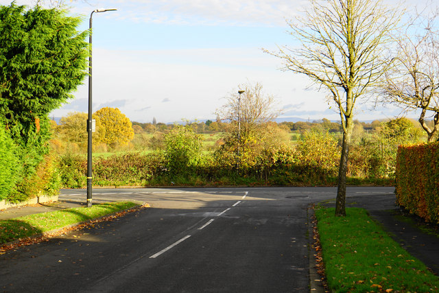
Image: © Bill Boaden Taken: 11 Nov 2017
The road ends on Ash Lane, which is the current edge of the housing development on this side of Hale. The line of the Pennines can be seen on the far horizon.
Images are licensed for reuse under creativecommons.org/licenses/by-sa/2.0
Image Location
Latitude
53.37521
Longitude
-2.315011