Bleak Hill Sidings, Sheepbridge Lane, Mansfield, Notts.
Introduction
The photograph on this page of Bleak Hill Sidings, Sheepbridge Lane, Mansfield, Notts. by David Hallam-Jones as part of the Geograph project.
The Geograph project started in 2005 with the aim of publishing, organising and preserving representative images for every square kilometre of Great Britain, Ireland and the Isle of Man.

There are currently over 7.5m images from over 14,400 individuals and you can help contribute to the project by visiting https://www.geograph.org.uk
Bleak Hill Sidings, Sheepbridge Lane, Mansfield, Notts.
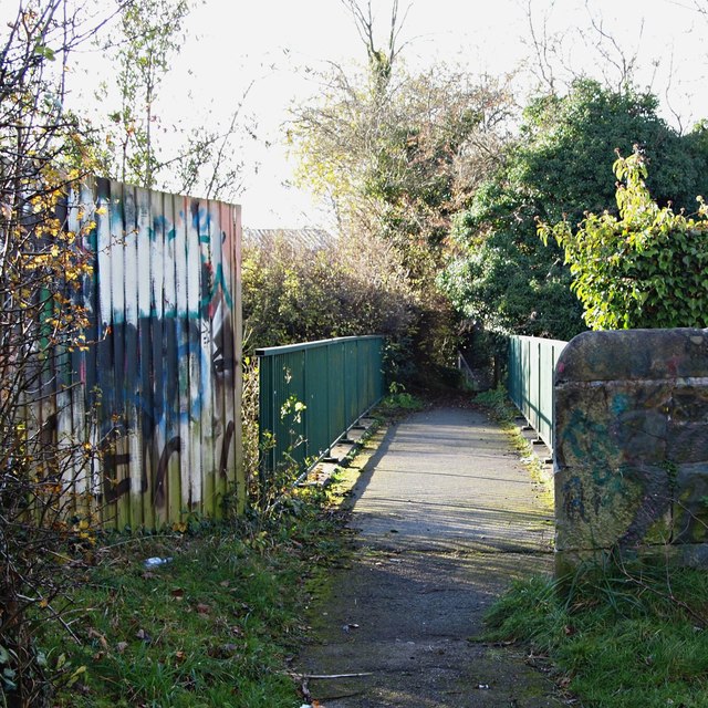
Image: © David Hallam-Jones Taken: 19 Nov 2017
A 150 metre stroll up a gently sloping service road (a track), off the left-hand side of Sheepbridge Lane (marked by the entrance gates into the premises of ICS Waste Management plc.) leads to this footbridge that crosses Sheepbridge Lane. The footpath ahead passes behind the new "Heritage Park" housing development. It is part of a centuries old unmade path leading towards what is now the Portland Retail Park near to the town centre. The path is known locally as Cinderella Walk, perhaps because of past associations with burnt fuel residue, i.e. cinders. 400-500 metres along this path there is also the option to make a right-hand turn and thereby to access Quarry Lane Nature Reserve and the River Maun.
Images are licensed for reuse under creativecommons.org/licenses/by-sa/2.0
Image Location
Latitude
53.134725
Longitude
-1.211501