The Lilacs, Crudgington
Introduction
The photograph on this page of The Lilacs, Crudgington by Richard Law as part of the Geograph project.
The Geograph project started in 2005 with the aim of publishing, organising and preserving representative images for every square kilometre of Great Britain, Ireland and the Isle of Man.

There are currently over 7.5m images from over 14,400 individuals and you can help contribute to the project by visiting https://www.geograph.org.uk
The Lilacs, Crudgington
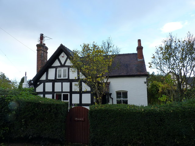
Image: © Richard Law Taken: 5 Nov 2017
Grade II listed https://www.britishlistedbuildings.co.uk/101038602-the-lilacs-waters-upton#.WhM4w9SLTGg in 1983, The Lilacs is described as a 16th or 17th century, timber-framed cottage, with whitened brick infill panels. The wing to the right is a later (probably 19th century) extension.
Images are licensed for reuse under creativecommons.org/licenses/by-sa/2.0
Image Location
Latitude
52.758974
Longitude
-2.546892