Little Gables, Crudgington
Introduction
The photograph on this page of Little Gables, Crudgington by Richard Law as part of the Geograph project.
The Geograph project started in 2005 with the aim of publishing, organising and preserving representative images for every square kilometre of Great Britain, Ireland and the Isle of Man.

There are currently over 7.5m images from over 14,400 individuals and you can help contribute to the project by visiting https://www.geograph.org.uk
Little Gables, Crudgington
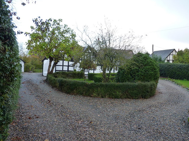
Image: © Richard Law Taken: 5 Nov 2017
It's not easy to see from the road outside, but this is a late 16th or early 17th century, long timber-framed cottage, Grade II listed https://www.britishlistedbuildings.co.uk/101038601-little-gables-waters-upton#.WhM4ytSLTGg in 1983.
Images are licensed for reuse under creativecommons.org/licenses/by-sa/2.0
Image Location
Latitude
52.759064
Longitude
-2.546745