OS benchmark - Crudgington, gatepost east side of A442
Introduction
The photograph on this page of OS benchmark - Crudgington, gatepost east side of A442 by Richard Law as part of the Geograph project.
The Geograph project started in 2005 with the aim of publishing, organising and preserving representative images for every square kilometre of Great Britain, Ireland and the Isle of Man.

There are currently over 7.5m images from over 14,400 individuals and you can help contribute to the project by visiting https://www.geograph.org.uk
OS benchmark - Crudgington, gatepost east side of A442
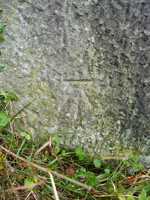
Image: © Richard Law Taken: 5 Nov 2017
An OS cutmark on a stone gatepost just to the SE of the Crudgington crossroads. It was levelled at 58.228m above Ordnance Datum Newlyn in 1958.
Images are licensed for reuse under creativecommons.org/licenses/by-sa/2.0
Image Location
Latitude
52.759091
Longitude
-2.54882