River Brett, Hadleigh
Introduction
The photograph on this page of River Brett, Hadleigh by Robin Webster as part of the Geograph project.
The Geograph project started in 2005 with the aim of publishing, organising and preserving representative images for every square kilometre of Great Britain, Ireland and the Isle of Man.

There are currently over 7.5m images from over 14,400 individuals and you can help contribute to the project by visiting https://www.geograph.org.uk
River Brett, Hadleigh
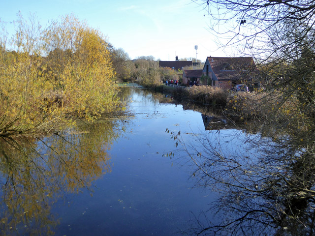
Image: © Robin Webster Taken: 19 Nov 2017
Looking downstream from Toppesfield Bridge. This part acted as a mill pond for a former mill at the end of the straight.
Images are licensed for reuse under creativecommons.org/licenses/by-sa/2.0
Image Location
Latitude
52.040439
Longitude
0.95295