Craig of Stenton
Introduction
The photograph on this page of Craig of Stenton by M J Richardson as part of the Geograph project.
The Geograph project started in 2005 with the aim of publishing, organising and preserving representative images for every square kilometre of Great Britain, Ireland and the Isle of Man.

There are currently over 7.5m images from over 14,400 individuals and you can help contribute to the project by visiting https://www.geograph.org.uk
Craig of Stenton
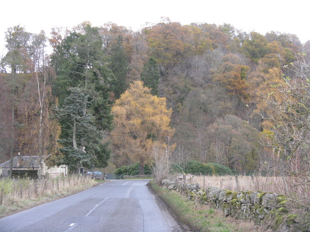
Image: © M J Richardson Taken: 19 Nov 2017
Looking northeast along the old military road [A984] to the craig, which is the site of an old fort https://canmore.org.uk/site/27118/kemps-hold.
Images are licensed for reuse under creativecommons.org/licenses/by-sa/2.0
Image Location
Latitude
56.547591
Longitude
-3.523187