West end of Braemar Road, Brentford
Introduction
The photograph on this page of West end of Braemar Road, Brentford by Richard Vince as part of the Geograph project.
The Geograph project started in 2005 with the aim of publishing, organising and preserving representative images for every square kilometre of Great Britain, Ireland and the Isle of Man.

There are currently over 7.5m images from over 14,400 individuals and you can help contribute to the project by visiting https://www.geograph.org.uk
West end of Braemar Road, Brentford
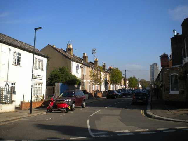
Image: © Richard Vince Taken: 3 Nov 2017
Looking towards Ealing Road from Brook Road South. Braemar Road passes along the south side of Griffin Park, Brentford Football Club's home ground, hence the floodlights towering over the houses in the centre of the picture.
Images are licensed for reuse under creativecommons.org/licenses/by-sa/2.0
Image Location
Latitude
51.487137
Longitude
-0.303185