Slips Cottage, Doddington
Introduction
The photograph on this page of Slips Cottage, Doddington by pam fray as part of the Geograph project.
The Geograph project started in 2005 with the aim of publishing, organising and preserving representative images for every square kilometre of Great Britain, Ireland and the Isle of Man.

There are currently over 7.5m images from over 14,400 individuals and you can help contribute to the project by visiting https://www.geograph.org.uk
Slips Cottage, Doddington
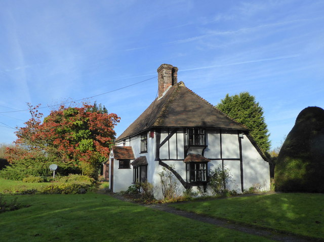
Image: © pam fray Taken: 19 Nov 2017
In Church Lane on the western fringe of Sharsted Wood. A Grade II listed building dating from the 17th century, it is the former South Lodge of Sharsted Court. Viewed from the footpath running through the wood.
Images are licensed for reuse under creativecommons.org/licenses/by-sa/2.0
Image Location
Latitude
51.286693
Longitude
0.778815