Cranwell St. Andrew's church
Introduction
The photograph on this page of Cranwell St. Andrew's church by Adrian S Pye as part of the Geograph project.
The Geograph project started in 2005 with the aim of publishing, organising and preserving representative images for every square kilometre of Great Britain, Ireland and the Isle of Man.

There are currently over 7.5m images from over 14,400 individuals and you can help contribute to the project by visiting https://www.geograph.org.uk
Cranwell St. Andrew's church
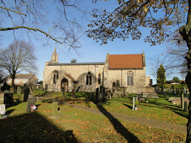
Image: © Adrian S Pye Taken: 19 Nov 2017
The churchyard contains a cross of sacrifice and the graves of 135 servicemen; primarily RNAS and RAF dating from WW1 to the present. To view the War Graves > https://media.geograph.org.uk/files/fe9fc289c3ff0af142b6d3bead98a923/Cranwell_War_Graves.pdf
Images are licensed for reuse under creativecommons.org/licenses/by-sa/2.0
Image Location
Latitude
53.036957
Longitude
-0.461321