Waverley Road, Mansfield, Notts.
Introduction
The photograph on this page of Waverley Road, Mansfield, Notts. by David Hallam-Jones as part of the Geograph project.
The Geograph project started in 2005 with the aim of publishing, organising and preserving representative images for every square kilometre of Great Britain, Ireland and the Isle of Man.

There are currently over 7.5m images from over 14,400 individuals and you can help contribute to the project by visiting https://www.geograph.org.uk
Waverley Road, Mansfield, Notts.
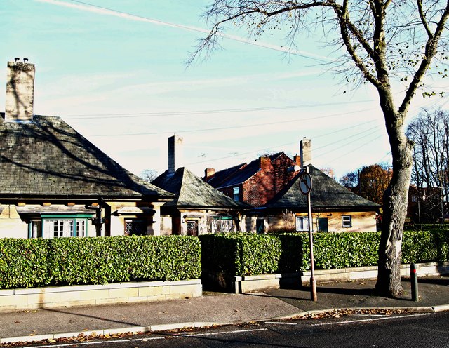
Image: © David Hallam-Jones Taken: 19 Nov 2017
Three almshouses at the Nottingham Road end of Waverley Road. Local maps identify them as almshouses although there were no obvious name plaques. The main Mansfield - Nottingham road is situated a stone's throw to the right.
Images are licensed for reuse under creativecommons.org/licenses/by-sa/2.0
Image Location
Latitude
53.132571
Longitude
-1.198537