Railway bridge abutment, Grange Lane
Introduction
The photograph on this page of Railway bridge abutment, Grange Lane by Stephen Craven as part of the Geograph project.
The Geograph project started in 2005 with the aim of publishing, organising and preserving representative images for every square kilometre of Great Britain, Ireland and the Isle of Man.

There are currently over 7.5m images from over 14,400 individuals and you can help contribute to the project by visiting https://www.geograph.org.uk
Railway bridge abutment, Grange Lane
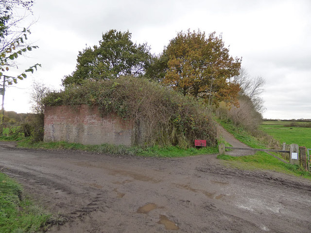
Image: © Stephen Craven Taken: 18 Nov 2017
The abutment looks to have been built wide enough for two tracks but there is no evidence on old maps of it having been more than single track along this section.
Images are licensed for reuse under creativecommons.org/licenses/by-sa/2.0
Image Location
Latitude
53.205134
Longitude
-2.542228