Ovington green and maypole
Introduction
The photograph on this page of Ovington green and maypole by Gordon Hatton as part of the Geograph project.
The Geograph project started in 2005 with the aim of publishing, organising and preserving representative images for every square kilometre of Great Britain, Ireland and the Isle of Man.

There are currently over 7.5m images from over 14,400 individuals and you can help contribute to the project by visiting https://www.geograph.org.uk
Ovington green and maypole
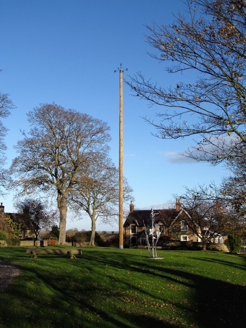
Image: © Gordon Hatton Taken: 16 Nov 2017
The small village of Ovington has little of note for the 'geograph' photographer, other than the maypole and the Four Alls pub. A parked 'Richmondshire' mini bus had me confused. Was I back in North Yorkshire, or is this a part of the old North Riding 'acquired' by Co Durham in 1974? Border lines marked on the map would indicate that this is indeed now administered by County Durham.
Images are licensed for reuse under creativecommons.org/licenses/by-sa/2.0
Image Location
Latitude
54.527506
Longitude
-1.798947