Wall adjacent to the Whitegate Way
Introduction
The photograph on this page of Wall adjacent to the Whitegate Way by Stephen Craven as part of the Geograph project.
The Geograph project started in 2005 with the aim of publishing, organising and preserving representative images for every square kilometre of Great Britain, Ireland and the Isle of Man.

There are currently over 7.5m images from over 14,400 individuals and you can help contribute to the project by visiting https://www.geograph.org.uk
Wall adjacent to the Whitegate Way
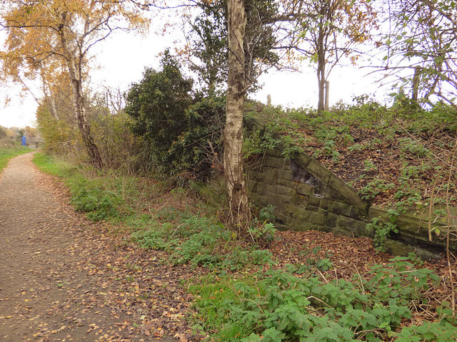
Image: © Stephen Craven Taken: 18 Nov 2017
My first thought was that this ma have been a goods loading bay, but the top of the wall is too high for that and no such facility is evident even on the 1:2500 map. It was probably a retaining wall for the brine pond behind.
Images are licensed for reuse under creativecommons.org/licenses/by-sa/2.0
Image Location


Leaflet Map data © OpenStreetMap
Latitude
53.203158
Longitude
-2.521693